
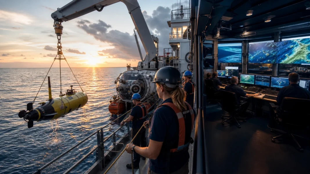

The quick answer: Ocean exploration maps and characterizes poorly known waters through ships, sonar, remotely operated vehicles, autonomous systems, sensors, imaging, sampling, and shared data. NOAA prioritizes deep waters and the U.S. Exclusive Economic Zone while working with public, academic, nonprofit, and private partners.
Why the ocean is still unknown
Deep water is dark, cold, corrosive, and under crushing pressure. Satellites can infer broad seafloor shape but cannot replace high-resolution sonar, direct imaging, sampling, and long-term observation. The ocean’s vast area makes systematic exploration a logistical as well as scientific challenge.
Robots extend human reach
Remotely operated vehicles receive power and commands through cables and return live video. Autonomous underwater vehicles follow programmed missions without a tether. New systems can map, sample water and biology, image wrecks, track chemistry, and reach depths too dangerous or expensive for routine human diving.
Telepresence opens the expedition
High-bandwidth links allow scientists on shore to guide dives and interpret discoveries in real time. A voyage can include specialists from many institutions without placing everyone on one ship. Public livestreams turn exploration into shared national education, bringing a deep-sea encounter to any connected classroom.
Explore before deciding
Ocean data informs weather forecasts, habitat protection, fisheries, hazard planning, maritime heritage, resource decisions, and national security. Baseline knowledge is especially valuable before conditions change or development begins. At 250, the blue frontier calls for curiosity with restraint: map widely, share data, listen to coastal and Indigenous communities, and protect what discovery reveals.
Quick facts
- NOAA Ship Okeanos Explorer is a federal vessel dedicated to ocean exploration.
- ROVs are tethered; AUVs operate untethered under onboard control.
- Modern expeditions use sonar, high-definition imaging, sensors, sampling, and telepresence.
- NOAA emphasizes exploration of deep water and the U.S. Exclusive Economic Zone.
Questions readers ask
Why map the seafloor if satellites already see Earth?
Satellite measurements provide useful broad estimates, but ship-based sonar is needed for detailed bathymetry and direct characterization.
Is ocean exploration only about finding new species?
No. It also studies geology, chemistry, habitats, hazards, cultural sites, resources, and processes that affect weather and climate.
Explore the sources
These primary and public-history resources are a good place to continue:
250 Pulse tells the American story with context, confidence, and room for every neighbor.